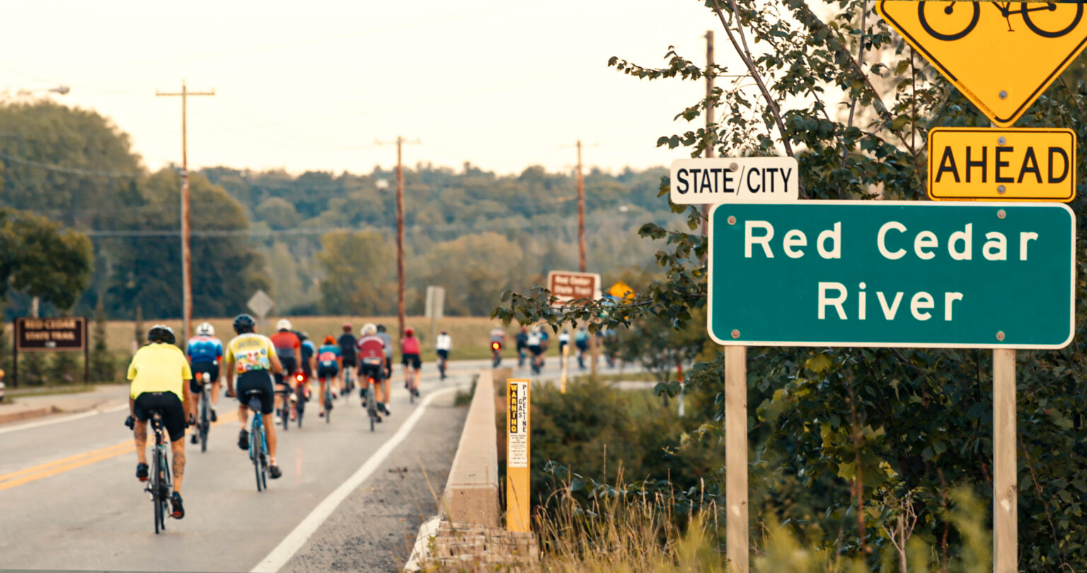
All turns will be marked on the road with yellow arrows prior to the turns, and confirmation arrows after each turn.
Due to factors beyond our control (road construction, pea gravel, etc.), the course maps are subject to change at any time. Please follow signage (Yellow Arrows Painted on road) and directions from volunteers on the course.
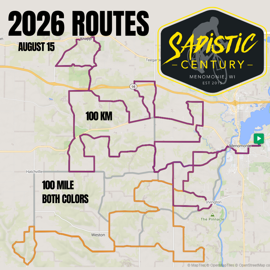
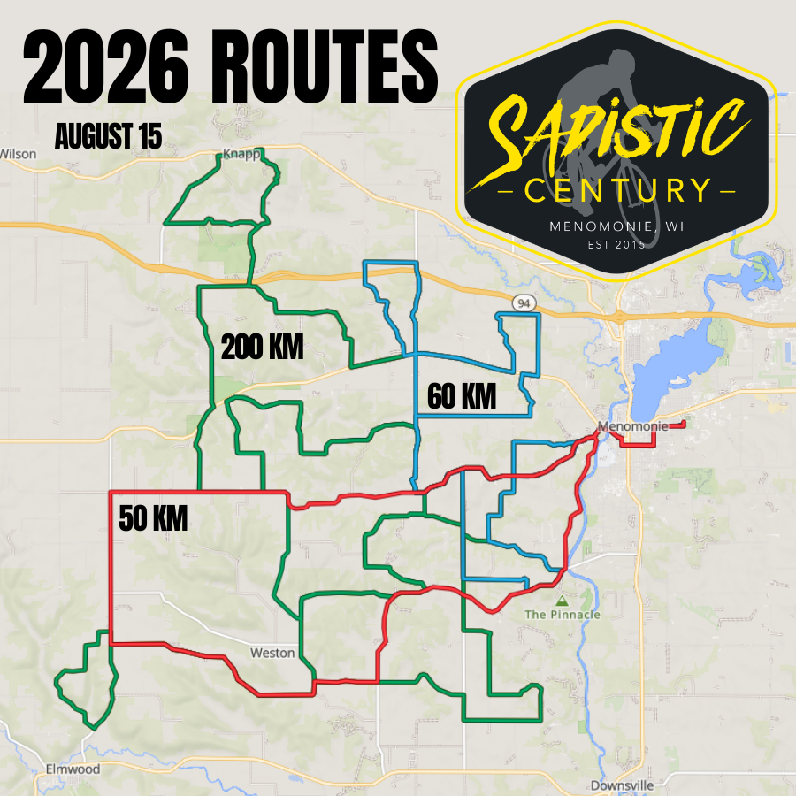
2026 Routes
Ride With GPS
RideWithGPS.com has been used to create the routes for the event. You can use the free RideWithGPS App on your phone to get turn-by-turn navigation instructions.
View the routes on the Sadistic Century’s Ride with GPS account, where you can print your own queue sheets. No print-outs will be provided at registration.
Training Plan
This training plan has you doing at least one hilly workout and one long workout per week.